Layers & Overlays
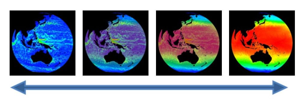
Layers and overlays afford presenters the ability show and hide information on the sphere as needed.
Layers
Permalink to LayersThe layering capability in SOS allows presenters to dynamically turn layers on and off. A multi-layer display can be created either statically in the dataset playlist beforehand, or interactively using the SOS Remote. By using the Display Elements list in SOS Remote, the user can toggle individual layers on and off, adjust the level of transparency of each layer, or delete a layer. Any labels/captions or PIPs associated with a clip are now also listed individually in the Display Elements list. These can be interactively manipulated like any other layer.
Pre-defined Layers
Permalink to Pre-defined LayersA multi-layer dataset may be defined by using the layer attribute. Each use
of a layer = name attribute/value pair within a playlist.sos file defines a
new layer and specifies the name of the layer. The specified name of the layer
is used to identify it in the layer table in SOS Remote’s Layers tab. Each new
layer specified appears visually on top of any previous layers.
The layerdata attribute is repeated for each layer to specify the
corresponding data file for the layer. A layer defined this way may have a
layervisible = no attribute/value pair defined to specify that the layer is
not initially visible. A layer may also have a layeralpha attribute pair to
further specify the initial opacity of the layer. An alpha value of 0.0 means
that the layer is totally transparent, and 1.0 means the layer is totally
opaque. A slider in the SOS Remote interface is available to interactively
manipulate the opacity of each layer.

Orienting Layers
Permalink to Orienting LayersIn order for layers to overlap properly, it is important to make sure that the
maps are oriented identically. In the case where two layers have different
center points, you can set layereast, layerwest, layernorth, and layersouth.
These commands specify the geographic extent of the data within the layer. They
specify the east and west edges of the data in degrees east longitude, and the
north and south edges in degrees north latitude.
Overlays
Permalink to OverlaysAdditionally, we have created new overlays which are located in the /shared/sos/media/overlays directory, and which will show up as a library category on SOS Stream GUI and on the iPad. You will find them accessible through a button on the presentation tab of the iPad. The overlays contain useful earth-related transparent layers (specified as clips in a standard playlist.sos file format) that can be used for both pre-programmed layering, as well as, interactive layering. An example of a layer that will be in this category is Country Borders. If a site wants to add more overlays for general use, they should be placed in the site-custom folder with a playlist.sos file that has the category defined as overlay. Examples of playlist.sos files for overlays can be found in the /shared/sos/media/overlays directory.
You can have your custom overlays appear in the Overlays dialog of the iPad app just as the NOAA-managed overlays appear for quick and dynamic layering. To do this:
- In your playlist.sos file, add the following attribute/value pair (this is
optional and allows your overlay to show up in the overlays category in SOS
Stream GUI’s Library menu):
category = overlays - In your playlist.sos file, add the following attribute/value pair (this is
what makes your overlay appear in the iPad app’s Overlays dialog):
subcategory = Overlays - On the SOS Computer’s SOS Stream GUI application, select LibraryUpdate Library menu option to update the Data Catalog with your new overlay dataset. Once this is complete, on the iPad app’s Settings tab, select the Update Now button, and your overlay dataset will appear in the Overlays dialog of the iPad