Map Projection
The map projection used is the Equatorial Cylindrical Equidistant projection (wikipedia). This is a simple latitude/longitude grid with the lines evenly spaced where the image is twice as wide as it is tall. To be consistent with the SOS Data Catalog, it is recommended that the 0° line go through the middle of the map, with the +/-180° lines at the edges. In order for the data to wrap properly around the sphere, it is imperative that you follow the specifications for the data format closely. Images in the wrong format will project on the sphere, but they will not correctly represent the size of the continents.
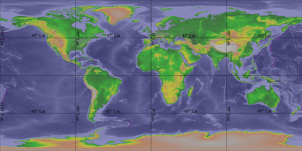
The map projection used by Science On a Sphere is twice as wide as it is tall, and places 0° longitude at the center of the image.